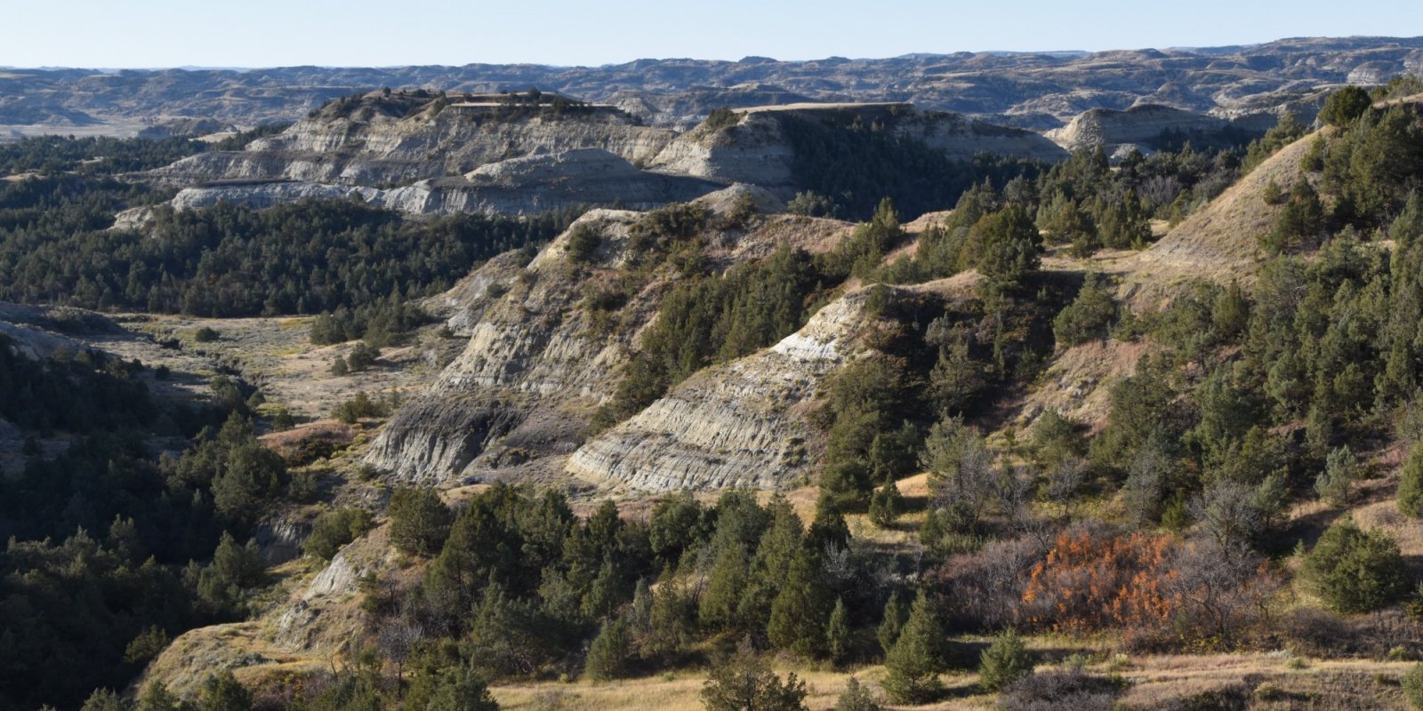
Major Land Resource Area 058C
Northern Rolling High Plains, Northeastern Part
Accessed: 05/19/2025
Next steps
-
1
Select an ecological site
Select an ecological site using the list, keys, photos, briefcase, or quick search option located on this page. -
2
Explore the ecological site description
Next, learn more about the selected ecological site and its characteristic dynamics by browsing the ecological site description and exploring alternative state and transition model formats.
Ecological site list
-
i
Key Characteristics
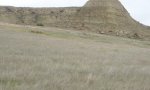
- Badlands (fans and swales)
- Alluvium from adjacent steep eroding badland areas
-
i
Key Characteristics
- Clay soils >40% clay in profile
- Silty clay to clay texture in the surface (>27% and <35% clay)
-
i
Key Characteristics
- Clay soils >40% clay in profile
- A dense compact layer in the subsoil
-
i
Key Characteristics
- Alluvial Soils located on floodplains and stream terraces
- Soils that do not have a seasonal or perennial high water table (>6 feet from surface)
- All other soils
- Plains and/or Uplands (smooth and level gently undulating land)
- Closed depressions on plains
-
i
Key Characteristics
- Sandy Soils (generally soils with >52% sand)
- Soils with <70% but >50% sand in the surface
-
i
Key Characteristics
- Plains and/or Uplands (smooth and level gently undulating land)
- Soils are effervescence in the surface layer
-
i
Key Characteristics
- Plains and/or Uplands (smooth and level gently undulating land)
- Upland or plains sites with no effervescence <8” to surface
-
i
Key Characteristics
- Clay soils >40% clay in profile
- A dense compact layer <6 inches from the surface
-
i
Key Characteristics
- Shallow soils (<20 inches), thin surface, or >20% channers throughout profile
- Surface horizon <3 inches with loamy fine sand surface
-
i
Key Characteristics
- Shallow soils (<20 inches), thin surface, or >20% channers throughout profile
- Soils with rock, channers >20% throughout profile (channers are pocelanite (scoria))
-
i
Key Characteristics
- Sandy Soils (generally soils with >52% sand)
- Subsoil with claypan characteristics, extremely hard
-
i
Key Characteristics
- Shallow soils (<20 inches), thin surface, or >20% channers throughout profile
- Soils with loam surface
-
i
Key Characteristics
- Sandy Soils (generally soils with >52% sand)
- Soils <20” to root restrictive layer
-
i
Key Characteristics
- Alluvial Soils located on floodplains and stream terraces
- Soils that do not have a seasonal or perennial high water table (>6 feet from surface)
- Soils with >52% sand in the surface
-
i
Key Characteristics
- Alluvial Soils located on floodplains and stream terraces
- Soils that do not have a seasonal or perennial high water table (>6 feet from surface)
- Soils with high concentration of salts
-
i
Key Characteristics
- Alluvial Soils located on floodplains and stream terraces
- Soils that do not have a seasonal or perennial high water table (>6 feet from surface)
- Site occurs on a terrace landform
-
i
Key Characteristics
- Alluvial Soils located on floodplains and stream terraces
- Soils that have a seasonal or perennial high water table (<3 feet from surface)
- Soils with a water table <3 feet
-
i
Key Characteristics
- Sandy Soils (generally soils with >52% sand)
- Effervescence >3” from the surface
-
i
Key Characteristics
- Alluvial Soils located on floodplains and stream terraces
- Soils that do not have a seasonal or perennial high water table (>6 feet from surface)
- Surface texture is >40% clay
-
i
Key Characteristics
- Woodland Draws
- Draws with steep sides
-
i
Key Characteristics
- Woodland Draws
- Draws with flat bottoms
-
i
Key Characteristics
- Exposed cliff faces and/or escarpments
- >80% bare ground and slope >60%
-


Ecological site map
Basemap
Find me
Find point
Full screen
Zoom in to display soil survey map units for an area of interest, and zoom out to display MLRAs. Select a map unit polygon to view ecological sites correlated to that map unit. View a brief description of an ecological site by clicking on its name in the map popup. Soil survey correlations may not be accurate, and ecological site classification of a location should always be verified in the field. Each selection may require the transfer of several hundred KB of data.
Ecological site keys
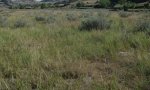
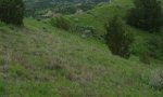
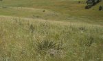
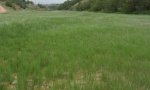
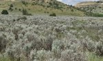
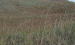
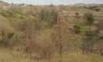
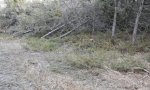
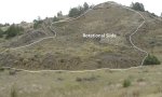
Ecological site photos
Print Options
Sections
Font
Other
Briefcase
Add ecological sites and Major Land Resource Areas to your briefcase by clicking on the briefcase (![]() ) icon wherever it occurs. Drag and drop items to reorder. Cookies are used to store briefcase items between browsing sessions. Because of this, the number of items that can be added to your briefcase is limited, and briefcase items added on one device and browser cannot be accessed from another device or browser. Users who do not wish to place cookies on their devices should not use the briefcase tool. Briefcase cookies serve no other purpose than described here and are deleted whenever browsing history is cleared.
) icon wherever it occurs. Drag and drop items to reorder. Cookies are used to store briefcase items between browsing sessions. Because of this, the number of items that can be added to your briefcase is limited, and briefcase items added on one device and browser cannot be accessed from another device or browser. Users who do not wish to place cookies on their devices should not use the briefcase tool. Briefcase cookies serve no other purpose than described here and are deleted whenever browsing history is cleared.
Ecological sites
Major Land Resource Areas
The Ecosystem Dynamics Interpretive Tool is an information system framework developed by the USDA-ARS Jornada Experimental Range, USDA Natural Resources Conservation Service, and New Mexico State University.