Loamy Flat
Scenario model
Current ecosystem state
Select a state
Management practices/drivers
Select a transition or restoration pathway
-
Transition T1A
Natural Vegetation Clearing, Site Preparation, Planting of Crops
More details -
Transition T1B
Natural Vegetation Clearing, Site Preparation, Introduction of Native and Non-Native Pasture Grasses and Legumes
More details -
Transition T2A
Removal of Crops, Seeding of Desirable Pasture Grasses & Legumes
More details -
Transition T2B
Long-Term Field Abandonment
More details -
Transition T3A
Removal of Grasses Through Tillage, Introduction of Crops
More details -
Transition T3B
Long-Term Field Abandonment
More details -
Transition T4A
Time, Pine Mortality, Spruce/Fir Regeneration and Dominance
More details -
No transition or restoration pathway between the selected states has been described
Target ecosystem state
Select a state
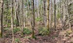
State 1
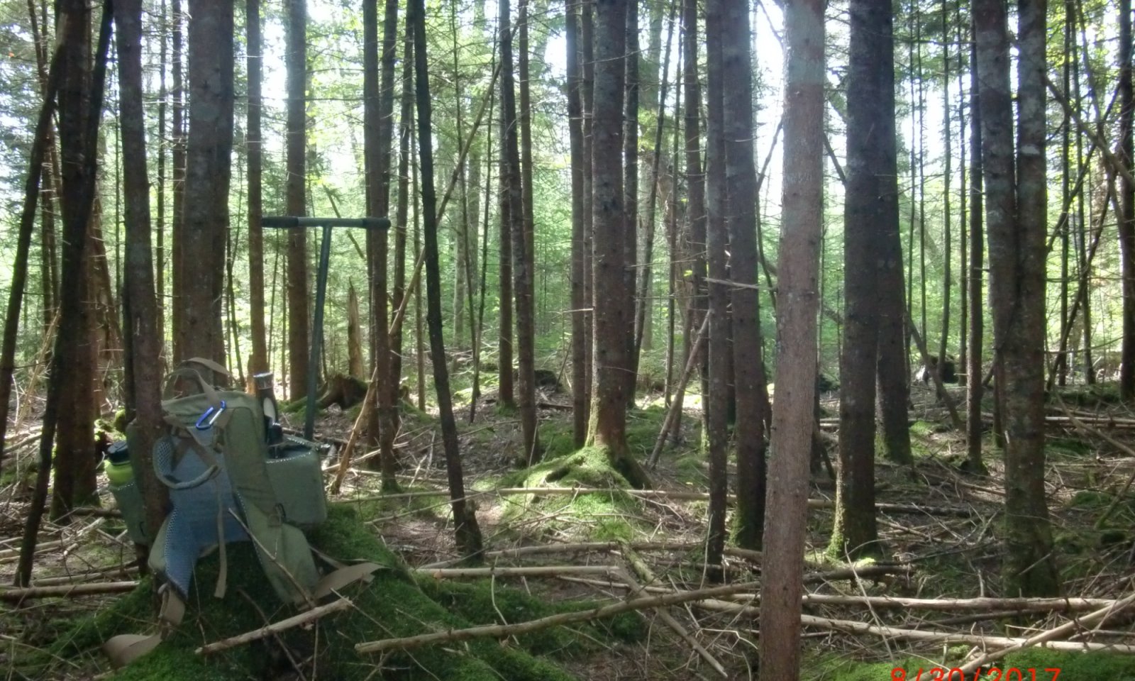
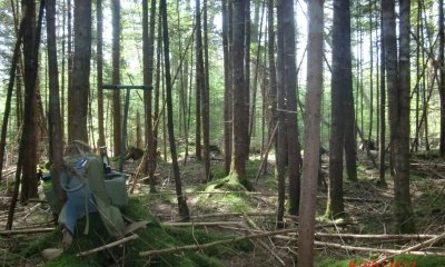
Spruce - Fir Forests


Description
This state represents the range of variability that dominates the dynamics of this site. The canopy will typically have a strong dominance of conifers, particularly red and white spruce, mixed with variable amounts of balsam fir. Scattered hardwoods may be infrequent or completely absent. The understory will have variable coverage depending on the stage of succession.
Resilience management
Silvicultural methods for these forest types include clear cutting, selective harvesting, and shelterwood cuttings. In natural systems, stand-replacing disturbances were rare and were dominated by small-scale disturbances, resulting in most forests being multi-aged.
Submodel
States 1, 5 and 2 (additional transitions)
1.1. Late Successional Uneven-Aged Spruce Forest
1.5. Mid Successional Even-Aged Mixedwood Forest
1.2. Early Successional Herbaceous Phase (Temporary Dominance)
Description
This state represents a once forested area now cleared for cropland. This will typically only occur on gentler slopes (less than15 percent) due to potential for water erosion. Corn and potatoes are the dominant agricultural row crop on this site.
Submodel
Description
This state represents a once forested area now cleared and managed as pasture or hay fields. This will typically only occur on gentler slopes (less than15 percent) due to potential for water erosion. Pasture vegetation can consist of grasses, legumes, other forbs, shrubs or a mixture. Many of these forages are introduced, having originally come from areas in other states or continents. Overgrazed pastures can lead to soil compaction and numerous bare spots, which may then become focal points of accelerated erosion and colonization sites of undesirable plants or weeds.
Submodel
Description
This state represents a once cleared forest that had been under pasture or crop management that has been abandoned over long periods of time (often greater than 30 but less than 200 years).
Characteristics and indicators
Vegetative indicators typically include a young to mature forest, most often eastern white pine (Pinus strobus), of a singular age and height class (at least 16 feet tall). If aged, these will often range from 30 years to over 100 years old, and will often reflect the time since abandonment. The understory is typically sparse and open due to the acidic nature of pine needles. Soil indicators include the absence of surface fragments and the presence of a plowed horizon (Ap). Physiographic identifiers often include relatively flat sloped areas with smooth microtopography, becoming more complex as the forest develops and natural tip ups occur.
Submodel
Mechanism
Converted forested communities have often undergone the clearing of native vegetation and site preparation before conversion to agricultural fields is complete. Due to the complex microtopography of the native site, land smoothing and / or leveling may be required, as well as undergoing practices such as tilling for the field to be ready to plant. Planting of desired crops can be done by hand or machine at desired spacing and intervals. Historically cleared land may have had water control structures installed to manage seasonal high water tables.
Mechanism
Converted forested communities have often undergone the clearing of native vegetation and site preparation before conversion to a managed grassland state is complete. Due to the complex microtopography of the native site, land smoothing and / or leveling may be required. Planting of desired mixtures of grasses and / or legumes can be done by hand or machine at desired densities. Historically cleared land may have had water control structures installed to manage seasonal high water tables.
Mechanism
Cropland can be converted to managed grasslands following the removal of the crop and the planting of desired mixtures of grasses and / or legumes at the desired density. Short term abandonment of crop fields may also give rise to ruderal shrublands and undesirable grasses and forbs that, if managed correctly, can be converted into a persistently managed grassland.
Relevant conservation practices
| Practice | External resources |
|---|---|
|
Managed Haying/Grazing |
Mechanism
This state transitions to a post-agricultural successional forest following the long-term abandonment of converted fields. While short-term abandonment of fields may allow for dominance of undesirable species they can revert to a commodity field with proper management. Long-term abandonment is accepted as the establishment of a single age stand of closed canopy forest.
Mechanism
Managed grassland can be converted to agricultural fields following the removal of the grasses / legumes (typically achieved by tilling) and planting the desired crop at the desired spacing and intervals.
Relevant conservation practices
| Practice | External resources |
|---|---|
|
Deep Tillage |
|
|
Crop management system on crop land acres recently converted |
Mechanism
This state transitions to a post-agricultural successional forest following the long-term abandonment of converted fields. While short-term abandonment of fields may allow for dominance of undesirable species they can revert to a commodity field with proper management. Long-term abandonment is accepted as the establishment of a single age stand of closed canopy forest.
Mechanism
Following the establishment of post-agricultural successional forests the system is expected to increase in physical and chemical stability as the stand age increases. Over time as more natural disturbances occur and the forest soils are stable, species representative of the reference community can become dominant as pine mortality occurs. Individual mortality and tip ups will reform the complex microtopography (pit and mound) seen in the reference conditions.
Constraints to recovery
Forest operations, such as thinning and selective harvesting, can be used to assist in recreating reference conditions. Natural mortality from insects (pine weevil [Hylobius abietis]) or tree throw can serve to open the canopy and promote new growth. Available seedbanks must be present for spruce and fir regeneration.
Relevant conservation practices
| Practice | External resources |
|---|---|
|
Forest Stand Improvement |
|
|
Forest stand improvement for habitat and soil quality |
Model keys
Briefcase
Add ecological sites and Major Land Resource Areas to your briefcase by clicking on the briefcase (![]() ) icon wherever it occurs. Drag and drop items to reorder. Cookies are used to store briefcase items between browsing sessions. Because of this, the number of items that can be added to your briefcase is limited, and briefcase items added on one device and browser cannot be accessed from another device or browser. Users who do not wish to place cookies on their devices should not use the briefcase tool. Briefcase cookies serve no other purpose than described here and are deleted whenever browsing history is cleared.
) icon wherever it occurs. Drag and drop items to reorder. Cookies are used to store briefcase items between browsing sessions. Because of this, the number of items that can be added to your briefcase is limited, and briefcase items added on one device and browser cannot be accessed from another device or browser. Users who do not wish to place cookies on their devices should not use the briefcase tool. Briefcase cookies serve no other purpose than described here and are deleted whenever browsing history is cleared.
Ecological sites
Major Land Resource Areas
The Ecosystem Dynamics Interpretive Tool is an information system framework developed by the USDA-ARS Jornada Experimental Range, USDA Natural Resources Conservation Service, and New Mexico State University.