Natural Resources
Conservation Service
Ecological site R035XH802AZ
Loamy Cienega 17-25" p.z.
Last updated: 5/19/2025
Accessed: 05/20/2025
General information
Provisional. A provisional ecological site description has undergone quality control and quality assurance review. It contains a working state and transition model and enough information to identify the ecological site.
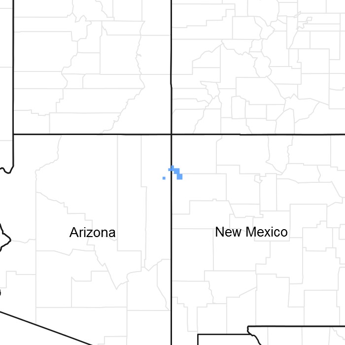
Figure 1. Mapped extent
Areas shown in blue indicate the maximum mapped extent of this ecological site. Other ecological sites likely occur within the highlighted areas. It is also possible for this ecological site to occur outside of highlighted areas if detailed soil survey has not been completed or recently updated.
MLRA notes
Major Land Resource Area (MLRA): 035X–Colorado Plateau
This ecological site occurs in Common Resource Area 35.8 - the Colorado Plateau Ponderosa Pine Forests
The Common Resource Area occurs within the Colorado Plateau Physiographic Province. Elevations range from 6800 to 8500 feet and precipitation averages 17 to 25 inches per year. Vegetation includes ponderosa pine, white fir, aspen, pinyon, juniper, Gambel oak, big sagebrush, ceanothus, blue elderberry, muttongrass, upland sedge, and big wildrye, mountain muhly, Arizona fescue, pine dropseed, and blue grama. The soil temperature regime ranges from mesic to frigid and the soil moisture regime is typic ustic. This unit occurs within the Colorado Plateau Physiographic Province and is characterized by a sequence of flat to gently dipping sedimentary rocks eroded into plateaus, valleys and deep canyons. Sedimentary rock classes dominate the plateau with volcanic fields occurring for the most part near its margin.
Ecological site concept
The soils grouped in this site are moderately deep to deep. Surface soil textures range from clay loam to clay. Typical organic carbon is 5 to 15%. This ecological site occurs in rounded closed basins that are typically less than 50 acres in size on undulating high plateaus and mesas. This ecological site benefits from run-on moisture from the adjacent ecological sites. Water is ponded on the site for extended periods of the year. Slopes range from 0 to 2 percent.
Table 1. Dominant plant species
| Tree |
Not specified |
|---|---|
| Shrub |
Not specified |
| Herbaceous |
(1) Glyceria borealis |

Click on box and path labels to scroll to the respective text.