
Natural Resources
Conservation Service
Ecological site RX143X00Y302
Mucky Swamp
Last updated: 5/20/2025
Accessed: 10/19/2025
General information
Provisional. A provisional ecological site description has undergone quality control and quality assurance review. It contains a working state and transition model and enough information to identify the ecological site.
MLRA notes
Major Land Resource Area (MLRA): 143X–Northeastern Mountains
MLRA 143 is in Maine (51 percent), New York (27 percent), Vermont (13 percent), New Hampshire (7 percent), and Massachusetts (2 percent). It makes up about 34,409 square miles (89,118 square kilometers). The MLRA consists of rolling hills and mountains covered by Wisconsin till. It is in three parts separated by other MLRAs. The western part is in New York (primarily the Adirondack Mountains). The central part is mainly in the Green Mountains in Vermont and the Berkshires in Massachusetts. The eastern part is in New Hampshire and most of northern Maine. The MLRA is used mainly for forestry and recreational purposes. The western part of MLRA 143 in the Adirondack Mountains has a distinct boundary with the physiographical dissimilar Saint Lawrence-Champlain Plain. The middle part that encompasses the Green Mountains has a diffuse boundary as it blends into the northern part of the New England and Eastern New York Uplands on the foothills of the Green Mountains. The southern boundary of the easternmost part of MLRA 143 has the same diffuse boundary. The northern boundary of the MLRA is the Canadian border.
The westernmost part of this MLRA is primarily in the Adirondack province of the Appalachian Highlands. A small area in the southern end of the western part is in the Mohawk section of the Appalachian Plateaus province of the same division. The easternmost part, primarily in northern Maine, is in the New England Upland section of the New England province of the Appalachian Highlands. The southwestern half of this part is in the White Mountain section of the same province and division, and the middle part of the MLRA is in the Green Mountain section. The mountains and foothills in this MLRA are commonly rounded. They are underlain by bedrock and typically covered with thin deposits of till. The more rugged mountain areas are separated by high-gradient streams coursing through steep areas of colluvium or talus-laden valleys. Many glacially broadened valleys are filled with glacial outwash and have numerous swamps and lakes. The mountains and foothills are moderately steep to very steep, and the valleys are nearly level to sloping.
As the northernmost MLRA in the region with the coldest temperatures and shortest growing season, the Northeastern Mountains have less overall tree diversity, fewer pine and oak trees, and more abundant spruce and fir trees than neighboring MLRAs. The variability in microtopography on this site results in a patchy mosaic of plant communities. Silver maple is the most common overstory species, with diverse grasses and herbs indicating differences in soil wetness throughout the site due to slight variability in elevation above the water table. This site is subject to ice scour and flooding, but the most extensive disturbance is cultivation. These broad, flat landforms are nutrient rich with high water-holding capacity. These factors along with their adjacency to rivers made them ideal farming locations for early settlers, much of which continues today. The effects of altered flow regimes from modern dams may also be significant but require further study.
Classification relationships
This site occurs in Ecological Site Group 3 (Wooded Wetlands) of MLRA 143 (The Northeastern Mountains), in the Northeastern Forage and Forest Region (Land Resource Region R).
The Northeastern Forage and Forest LRR includes all of Maine, New Hampshire, Vermont, Rhode Island, and Connecticut, as well as large portions of Massachusetts, New York, New Jersey, Pennsylvania, and Ohio. Its southern boundary marks the extent of the Wisconsin ice sheet, which engulfed the entire LRR as recently as 10,000 to 15,000 years ago. Erosional and depositional processes associated with glaciation created many of the topographic patterns that distinguish MLRAs within the Northeastern region. Harder granitic and metamorphic bedrock to the north were more resistant to glacial erosion, resulting in the relatively nutrient poor mountains of MLRA 143; whereas nutrient-rich sedimentary bedrock of MLRAs 139, 140, and 146 resulted in relatively flat, fertile landscapes ideal for cultivation. Other areas were depressed below sea-level by the sheer mass of the glacier, resulting in pockets of marine sediments which distinguish MLRAs 142, 144A, 144B, and 145.
Precipitation is sufficient to support productive forestland throughout the Northeastern region. Still, a latitudinal temperature gradient from mesic to frigid soil temperatures results in a general transition from central hardwoods and pine in the southern MLRAs to northern hardwoods and spruce-fir forests farther north (no true boreal forests exist in the region). Elevations are generally low throughout the Northeastern region, with the exception of MLRA 143 which has many high mountain ecosystems with cryic temperature regimes and alpine vegetation above the tree line.
Ecological site concept
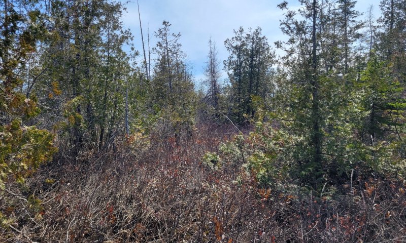
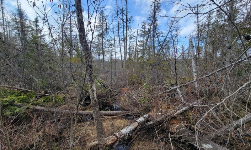
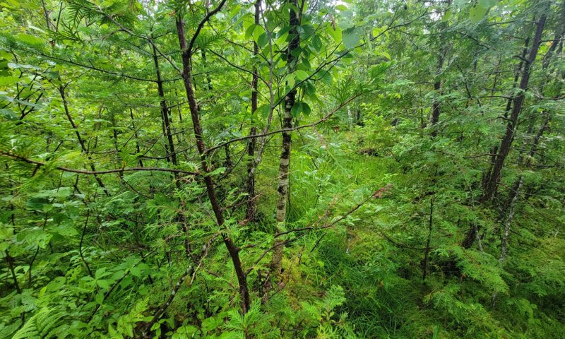
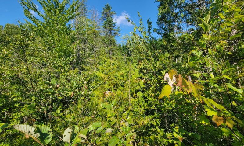
This site occurs in relatively flat areas (0-2% slopes) near the bottom of watersheds where water saturates deep organic muck deposits for most of the growing season. These soils are very poorly-drained and will have at least 16 inches (40 centimeters), with often greater than 40 inches (100 centimeters) of organic material often underlain by mineral deposits. The water table is usually within 12 inches (30 centimeters) of the soil surface in spring, and lowers somewhat in late summer and fall. This site often has pit and mound topography, with ponding and thick organic matter accumulation in the pits, and drier soil conditions with thinner organic matter on the mounds where most trees are rooted.
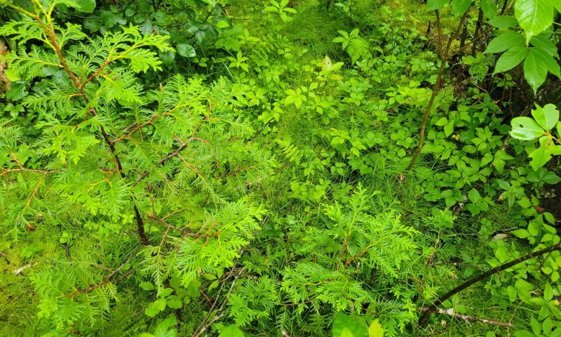
The reference state is characterized by abundant northern white cedar, with balsam fir, black spruce, larch, black ash, and grey birch as common associates. Diverse herbs, shrubs, and bryophytes dominate the understory. Canopy gaps and altered hydrology are common disturbances on this site. Altered hydrology is the primary driver of state change on this site, with beaver activity and man-made structures that impede drainage (such as roads, dams, etc.) often resulting in ponded or marshland states. This site is also logged in the winter when the ground is frozen. This site is unsuitable for pasture or cropland.
Associated sites
| RX143X00Y301 |
Loamy Till Swamp The Loamy Till Swamp often grades into the Mucky Swamp site downslope as the site gets wetter and organic matter accumulates. |
|---|---|
| RX143X00Y210 |
Marsh Wetland Complex The Marsh Wetland Complex site often grades upslope into the Mucky Swamp as the depth to mineral soil contact decreases, likely due to increased soil oxygen levels which support cedar growth. |
Similar sites
| RX143X00Y301 |
Loamy Till Swamp The Loamy Till Swamp is similar in species composition to the Mucky Swamp, but mineral soils rather than organic soils support greater productivity and cover of cedar trees, often with overall understory production and sphagnum moss. |
|---|
Table 1. Dominant plant species
| Tree |
(1) Thuja occidentalis |
|---|---|
| Shrub |
(1) Alnus |
| Herbaceous |
(1) Sphagnum |
Legacy ID
F143XY302ME
Click on box and path labels to scroll to the respective text.
Ecosystem states
| T1A | - | Variable increase in soil wetness (natural or anthropogenic) |
|---|---|---|
| R2A | - | Decrease in soil wetness (natural or anthropogenic) |
State 1 submodel, plant communities
| 1.1A | - | Patch cut, clearcut, or blowdown that increases soil wetness and light availability |
|---|---|---|
| 1.1B | - | Shelterwood cut, selective harvesting, forest thinning |
| 1.2A | - | Time (often greater than 100 years), thinning (natural or anthropogenic) |
| 1.2B | - | Patch cut, clearcut, or blowdown that increases soil wetness and light availability |
| 1.3A | - | Time (often greater than 100 years), thinning (natural or anthropogenic) |