Natural Resources
Conservation Service
Ecological site R087AY008TX
Very Deep Sand
Last updated: 5/16/2025
Accessed: 10/19/2025
General information
Provisional. A provisional ecological site description has undergone quality control and quality assurance review. It contains a working state and transition model and enough information to identify the ecological site.
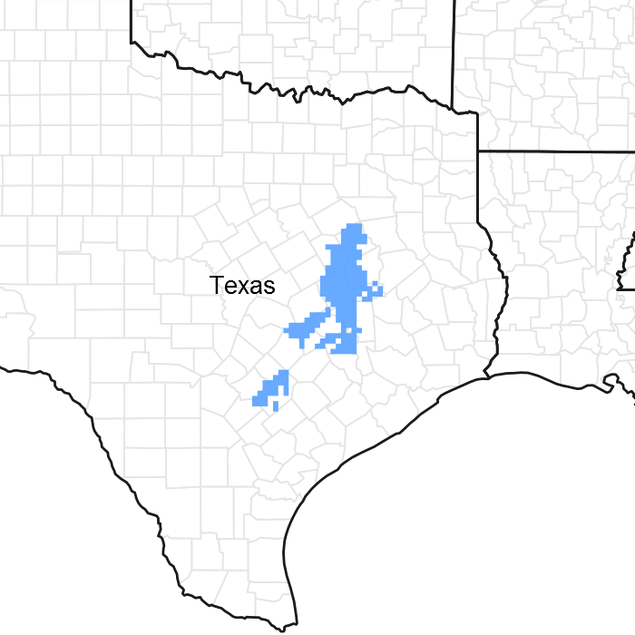
Figure 1. Mapped extent
Areas shown in blue indicate the maximum mapped extent of this ecological site. Other ecological sites likely occur within the highlighted areas. It is also possible for this ecological site to occur outside of highlighted areas if detailed soil survey has not been completed or recently updated.
MLRA notes
Major Land Resource Area (MLRA): 087A–Texas Claypan Area, Southern Part
This MLRA is entirely in south-central Texas. It is approximately 10,212 square miles (27,295 square kilometers). The towns of Bastrop, Bryan, Centerville, College Station, Ennis, Fairfield, Franklin, Giddings, Gonzales, Groesbeck, La Grange, Madisonville, and Rockdale are in this MLRA. Interstate 45 crosses the northern part of the area, and Interstate 10 crosses the southern part. A number of State Parks are located throughout this area. The parks are commonly associated with reservoirs.
The term “claypan” refers to the heavier clay subsoils underlying the sandy and loamy soils. The vegetation is adapted to fairly droughty conditions due to restricted rooting depth and water transmission. The boundary to the west with the Blackland Prairies is gradual as vegetation transitions from tree to herbaceous species and the amount of precipitation decreases. The boundary to the east with the Southern Coastal Plain is distinct and marked by the tall pine species.
The average annual precipitation in this area is 27 to 45 inches (685 to 1,145 millimeters). Most of the rainfall occurs in spring and fall. The average precipitation during the freeze-free period is about 30 inches (760 millimeters). The average annual temperature is 64 to 70 degrees F (18 to 21 degrees C). The freeze-free period averages about 285 days and ranges from 260 to 310 days.
The dominant soil orders are Alfisols, Vertisols, Mollisols, and Entisols. The soils in the area are very deep to moderately deep and are somewhat excessively drained to somewhat poorly drained. They have a thermic soil temperature regime, an ustic soil moisture regime, and smectitic, siliceous, or mixed mineralogy.
Most of the farmland in this MLRA is used for pasture and livestock grazing. Most of the pastured areas were formerly cultivated. Although significant areas of rangeland have been overgrazed, conservation efforts are improving the rangeland condition. The cropland in the MLRA is used primarily for corn. Other important crops are cotton, peanuts, hay, and truck crops. Urban land is expanding in several areas.
Classification relationships
USDA-Natural Resources Conservation Service, 2006.
-Major Land Resource Area (MLRA) 87A
Ecological site concept
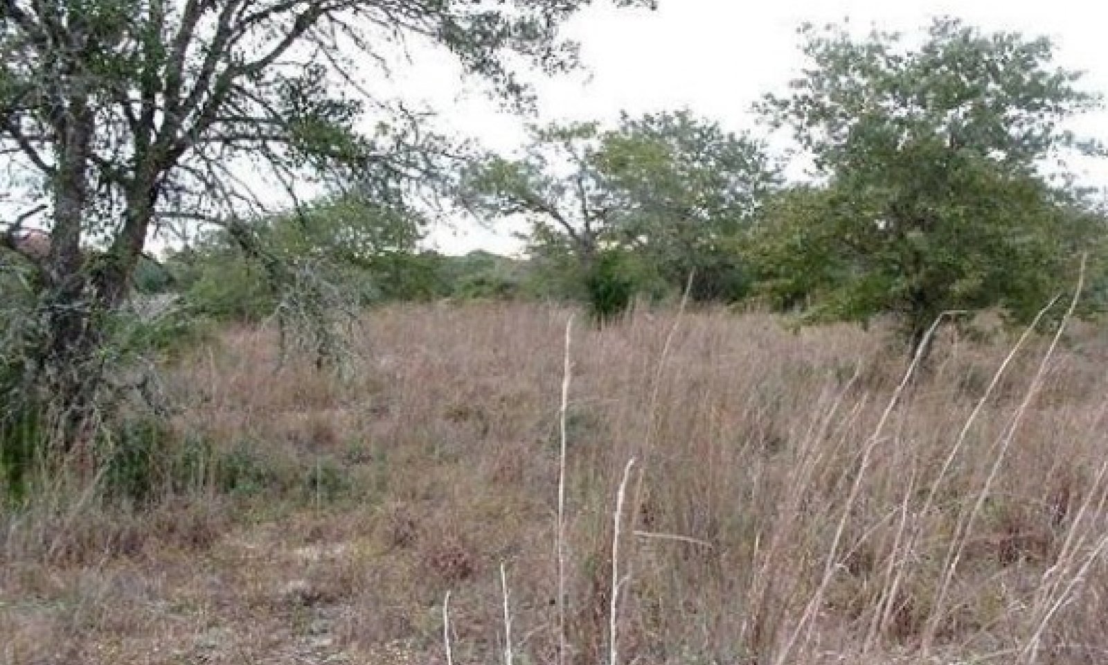
The site is characterized by structureless sands greater than 80 inches in depth. Due to the nature of sandy soils, they are vegetatively unproductive compared to other sites within the other area due to lower water holding capacity. Slopes range from 1 to 8 percent, and the elevation ranges from 260 to 620 feet.
Associated sites
| R087AY007TX |
Deep Sand Deep Sand, gently sloping to sloping ridges |
|---|---|
| R087AY009TX |
Wet Sandy Draw Wet Sandy Draw, concave drainages |
| R087AY004TX |
Deep Redland Deep Redland, gently sloping upland ridges |
| R087AY006TX |
Sandy Sandy, gently sloping to strongly sloping ridges and stream terraces |
Similar sites
| R087AY006TX |
Sandy Gently sloping to moderately sloping ridges and stream terraces, Drainage class is moderately well drained to well drained, Permeable class is moderate to rapid, Soil depth is 45 - 80 inches, Family particle size is loamy, Slope ranges between 1-8 percent |
|---|---|
| R087AY007TX |
Deep Sand Landforms consist primarily of broad ridges and stream terraces, Drainage class is well drained to somewhat excessively drained, Permeable class is rapid to very rapid, Soil depth is 72 - 80 inches, Family particle size is sandy, Slope ranges from 1-10 percent |
Table 1. Dominant plant species
| Tree |
(1) Quercus incana |
|---|---|
| Shrub |
(1) Ilex vomitoria |
| Herbaceous |
(1) Schizachyrium scoparium |


Click on box and path labels to scroll to the respective text.
Ecosystem states
| T1A | - | Abandonment, no fire, and grazing management |
|---|---|---|
| T1B | - | Brush management, plowed, pasture planting |
| R2A | - | Prescribed grazing, fire, and/or brush management |
| T2A | - | Abandonment, no fire, and "inadequate" grazing management |
| T2B | - | Brush management, plowed, pasture planting |
| R3A | - | Extensive brush management or herbicide applications |
| T3A | - | Brush management, plowed, pasture planting |
| R4A | - | Range planting, prescribed grazing, prescribed burning |
| T4A | - | Heavy continuous grazing, no brush management, abandonment |
| T4B | - | Heavy continuous grazing, brush management |