Natural Resources
Conservation Service
Ecological site R072XY105KS
Chalk Fans
Last updated: 6/06/2025
Accessed: 10/18/2025
General information
Approved. An approved ecological site description has undergone quality control and quality assurance review. It contains a working state and transition model, enough information to identify the ecological site, and full documentation for all ecosystem states contained in the state and transition model.

Figure 1. Mapped extent
Areas shown in blue indicate the maximum mapped extent of this ecological site. Other ecological sites likely occur within the highlighted areas. It is also possible for this ecological site to occur outside of highlighted areas if detailed soil survey has not been completed or recently updated.
MLRA notes
Major Land Resource Area (MLRA): 072X–Central High Tableland
Major Land Resource Area (MLRA) 72--Central High Tableland. This area is in Kansas (54 percent), Nebraska (25 percent), and Colorado (21 percent). A very small part of the area is in Wyoming. The area makes up about 34,550 square miles (89,535 square kilometers). It includes the towns of Garden City, Goodland, and Colby, Kansas; Imperial, North Platte, Ogallala, and Sidney, Nebraska; and Holyoke and Wray, Colorado. Interstate 70 bisects the area, and Interstates 76 and 80 follow the south side of the South and North Platte Rivers, respectively. The Cimarron National Grasslands occur in the southwest corner of the MLRA.
Classification relationships
MLRA 72 is in the Central Great Plains Winter Wheat and Range Land Resource Region. It is in the High Plains Section, of the Great Plains Province, of the Interior Plains (USDA, 2006). MLRAs can be defined by climate, landscapes, geology, and annual precipitation zones (PZ). Other features such as landforms, soil properties, and key vegetation further refine these concepts, and are described at the Ecological Site Description (ESD) level.
Relationship to Other Classifications:
Natural Resource Conservation Service (NRCS) Classification Hierarchy:
Physiographic Division Physiographic Province Physiographic Section Land Resource Region Major Land Resource Area Land Resource Unit (Fenneman, 1946)
United States Forest Service (USFS) Classification Hierarchy:
Domain Division Province Section Subsection Landtype Association Landtype Landtype Phase (Cleland et al, 1997)
REVISION NOTES:
The Chalk Fans site was developed by an earlier version of the Chalk Fans (2018). The earlier version of the Chalk Fans ESD was based upon input from NRCS (formerly Soil Conservation Service) and historical information obtained from the Chalk Flats (CF) Range Site Description (1967, updated1983).
Ecological site concept
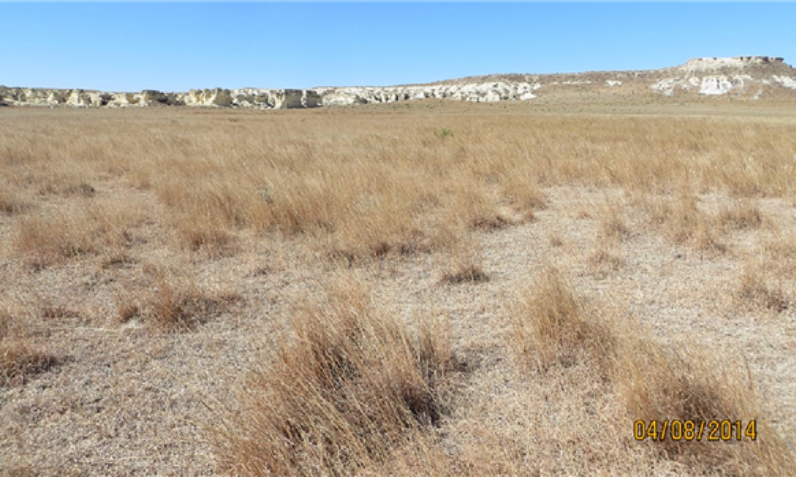
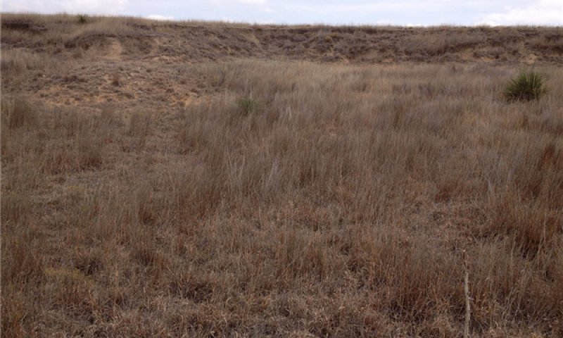
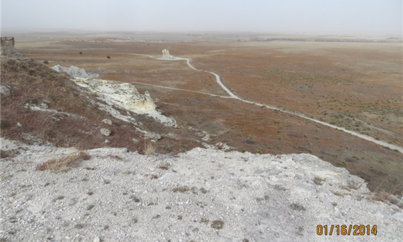
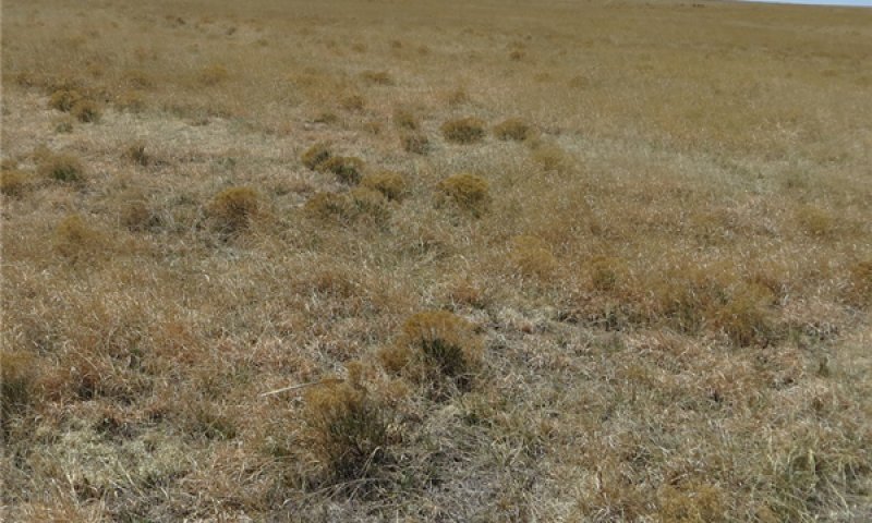
The Chalk Fans ecological site name replaces Chalk Flats due to a change in landform position description usage. This site occurs on nearly level to gently sloping alluvial fans, fan aprons, and colluvial aprons below raw exposures of Niobrara Chalk formation. This site is dominated by calcareous slope alluvium and residuum weathered from chalk, shale and soft limestone. The majority of this site is adjacent to the Smoky Hill River, in Logan and Gove counties, with few acres in Lane and Trego counties in Kansas. Badlands or Outcrop areas that are characterized by steep slopes and lack of vegetative cover are associated with this ecological site.
Associated sites
| R072XY101KS |
Limy Slopes The Limy Slopes ecological site is located on shoulders and backslopes on hillslopes on tableland landscapes. Soils that are correlated to Limy Slopes have free carbonates occurring within 4 inches (10cm) of the surface. This site is dominated by loess parent material. Limy Slopes generally occurs above this site on the uplands. |
|---|
Similar sites
| R072XY101KS |
Limy Slopes The Limy Slopes ecological site is located on shoulders and backslopes on hillslopes on tableland landscapes. Soils that are correlated to Limy Slopes have free carbonates occurring within 4 inches (10cm) of the surface. This site is dominated by loess parent material. |
|---|---|
| R072XY112KS |
Shallow Limy This site occurs on the breaks landscape and characterized by soils that are less than 20 inches to bedrock. The breaks landscape is the area between the tableland and river valleys highlighted by cliff faces. The Shallow Limy ecological site occurs on nearly level to steeply sloping uplands. Much of the site is steep and characterized by rock ledges forming vertical drops. |
Table 1. Dominant plant species
| Tree |
Not specified |
|---|---|
| Shrub |
Not specified |
| Herbaceous |
(1) Schizachyrium scoparium |


Click on box and path labels to scroll to the respective text.